Ground Grid
Contact UsAt Ground Grid, we provide professional surveying and geospatial consultancy services designed to deliver the high-precision data required for successful building and land development projects.
By focusing on technical accuracy and efficient data capture, we help project stakeholders mitigate risks and ensure that designs are grounded in the physical reality of the site.
How Much Does Ground Grid Surveying Cost In ?
The cost of a ground grid ranges from £450 to over £10,000 per project, depending on the site size, the level of detail required, and the complexity of the environment.
Costs are primarily influenced by the precision of the scanning equipment, the density of the required data points, and whether the output requires complex 3D digital modelling. Site access constraints and the need for specialised mobile elevated platforms for high-rise buildings will also influence the overall project labour costs.
Contact Ground Grid to get customised prices for getting site surveys at your property.
What Services Does Ground Grid Offer for Surveying and Site Data Projects?
Our technical team provides a diverse range of data capture solutions for the ground grid, including:
Topographical Surveys – Mapping site levels and natural features to provide a technical basis for external landscape and structural design.
Measured Building Surveys – Capturing precise internal dimensions and structural layouts using advanced laser scanning technology for redevelopment projects.
Land Surveys – Establishing accurate boundary positions and site orientations to support legal and planning requirements.
Utility Mapping – Identifying the position of underground services and infrastructure to prevent accidental damage during excavation works.
Existing Condition Surveys – Documenting the current state of a building to support renovation, refurbishment, or structural maintenance.
When Should You Contact Ground Grid for Professional Surveying Support?
Property owners should contact Ground Grid before finalising architectural designs or submitting planning applications to ensure their site data is correct.
Engaging a surveyor before purchasing land or commencing building works allows you to identify potential site constraints early. Our team typically provides an initial project estimate within 24 hours and can mobilise to your site within 48 to 72 hours to begin the data collection process.
Can Ground Grid Deliver Bespoke Solutions for Complex Property and Construction Projects?
Clients with unique project requirements can access tailored technical support through the ground grid to facilitate addressing access restrictions and technical challenges.
We specialise in adapting our measurement methodologies for buildings with unusual geometries, constrained urban sites, or sensitive environmental conditions. This bespoke approach ensures that even the most complex projects are backed by robust technical evidence that satisfies structural engineers and planning authorities alike.
Which Property Owners, Developers, Architects, and Contractors Does Ground Grid Support ?
A wide variety of stakeholders benefit from the precision provided by the ground grid, including:
Professional Property Developers – Delivering the high-volume topographical and measured building data needed for large residential estates.
Chartered Architectural Practices – Supplying foundational site plans that allow designers to work with absolute dimensional confidence.
Civil Engineering Contractors – Providing the accurate land and utility surveys required for infrastructure and heavy construction projects.
Private Homeowners – Supporting successful home improvement projects with accurate floor plans for extensions and loft conversions.
Local Authorities – Assisting with the technical mapping and site data required for public sector building and maintenance programmes.
How Quickly Can Ground Grid Deliver Survey Data and Project Information?
We typically provide completed data packages for the ground grid within 3 to 7 days of the site visit being completed. For urgent property transactions or small residential projects, we can often fast-track the processing to deliver basic layouts within roughly 48 hours.
This rapid delivery is essential for maintaining project momentum and ensuring that your design and planning phases are not delayed by missing technical information.
How Does Ground Grid Ensure Accuracy, Compliance, and Industry Standards?
Technical specialists ensure that all output from the ground grid adheres to the latest RICS standards and professional measurement guidelines. We use regularly calibrated laser technology and verify all measurements against national benchmarks to guarantee structural reliability.
By maintaining this level of rigour, we provide project managers with the technical security and compliance evidence needed to progress their developments without fear of structural discrepancies.
How Does Ground Grid Manage Projects From Site Survey to Data Delivery?
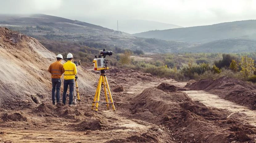
Our specialists manage the workflow of ground grid through a disciplined methodology that ensures the consistency of all digital outputs. Following the initial site consultation, our technicians use modern electronic equipment to gather physical measurements on-site.
This data is then processed in our technical office, where we verify all measurements against benchmarks before delivering the final CAD drawings or 3D models to your design team.
What Surveying, Measurement, and Geospatial Services Does Ground Grid Provide?
We deliver a versatile array of professional measurement disciplines for ground grid, including:
Floor Plan Surveys – Producing detailed layouts that show wall thicknesses, openings, and internal structural elements for architects.
Elevation Drawings – Creating vertical representations of buildings to show heights, floor levels, and external architectural details.
Site Mapping Services – Developing comprehensive plans that integrate topographical data with existing building footprints and boundary lines.
Construction Support – Providing accurate setting-out data to ensure that foundations and structures are built exactly to design.
Digital Survey Modelling – Processing raw measurement data into intelligent 3D environments to support modern building information management.
Why Should Clients Choose Ground Grid for Professional Surveying Services?
Businesses choose to partner with Ground Grid because we use advanced laser scanning technology to eliminate the risk of human measurement error. Expert data capture ensures that your project is based on factual evidence, which improves design efficiency and safety.
Selecting a dedicated consultancy provides you with clear and detailed documentation, protecting your investment and ensuring that the construction phase remains structurally and legally sound.
Contact Ground Grid for a consultation to get surveying and geospatial services tailored to your organisation’s risks and responsibilities.